WhimTrav plans routes around your RV’s height, width, length and weight, shows campgrounds and dump stations along the way, and builds multi-day trips you can follow turn by turn. The tools below are free on the web — no account needed.
Built from public U.S. agency data and OpenStreetMap. No sign-in, and the source is shown for every place.
48,000+ campgrounds, RV parks and state parks on one full-screen map, with RV dump stations, fuel and food layers you can turn on and off.
Open the map →4,468 dump stations listed by U.S. agencies and OpenStreetMap, organized by state, with the source of every record. Places where one is only likely are marked separately.
Find a dump station →Work out your rig’s real travel height, add a safety margin, and compare it with posted clearances in feet and meters before you drive.
Check your clearance →Long-form guides we keep up to date. Each guide shows when it was last reviewed.
Height, low bridges, tunnels and tires: how to plan a route your rig can actually drive, and what to check before you leave.
Read the guide →Fresh water, filters, tank care, and how to use a dump station quickly and cleanly.
Read the guide →Surge protectors versus EMS units, 30 amp versus 50 amp service, and keeping your batteries healthy.
Read the guide →Starter gear, the mistakes most people make on their first trips, and routines that prevent them.
Read the guide →Real screens from the app. More on the app tour page.
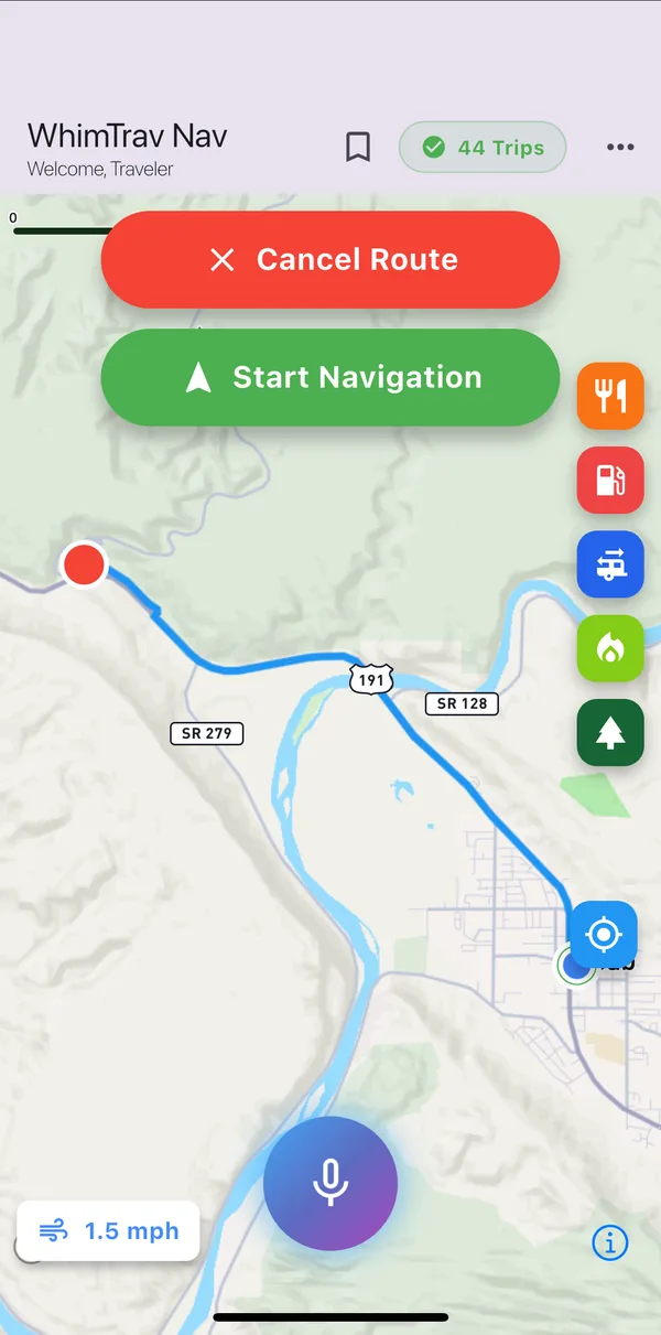
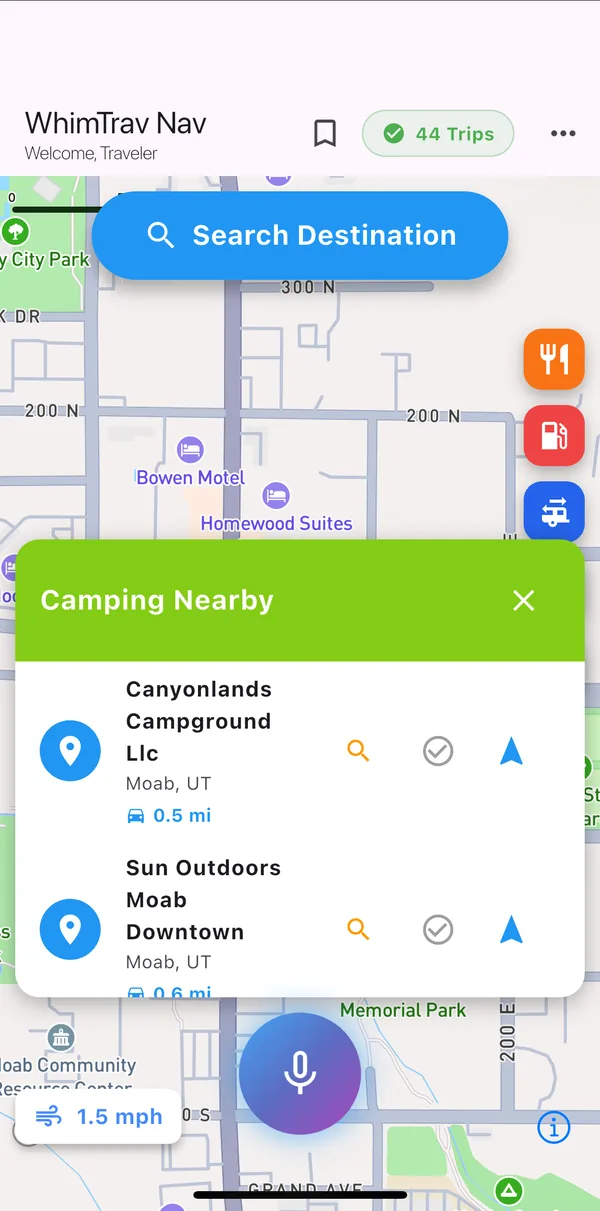
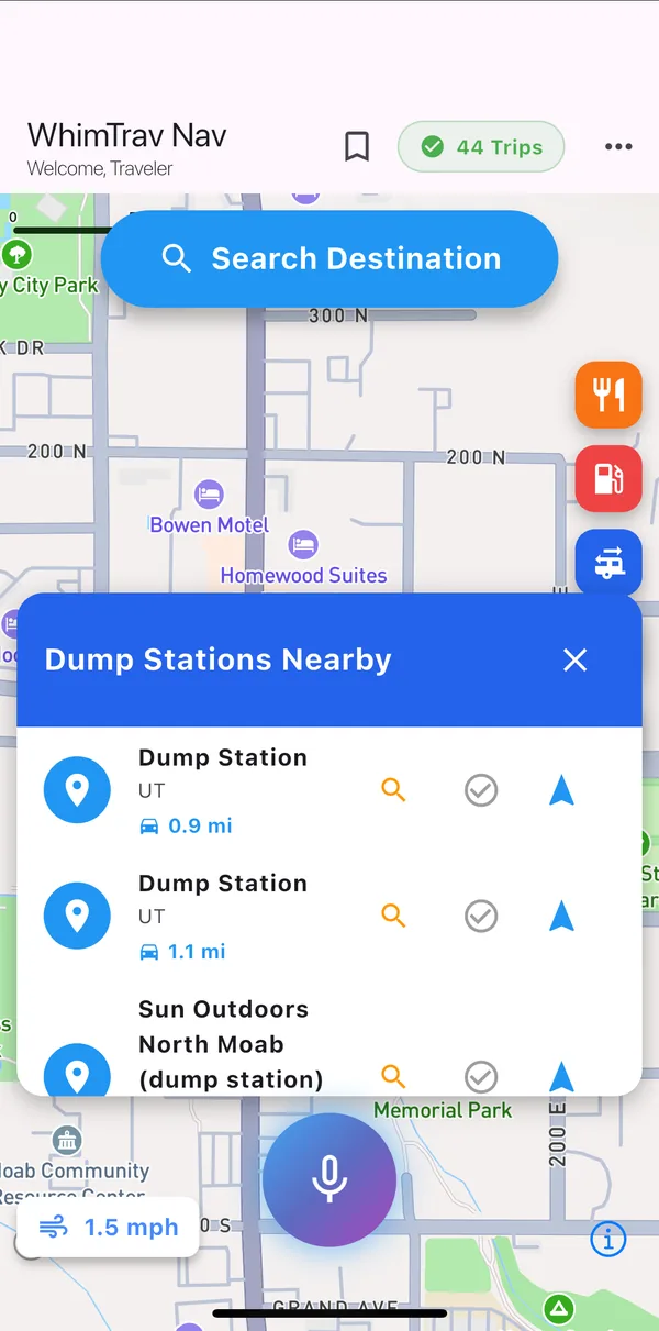
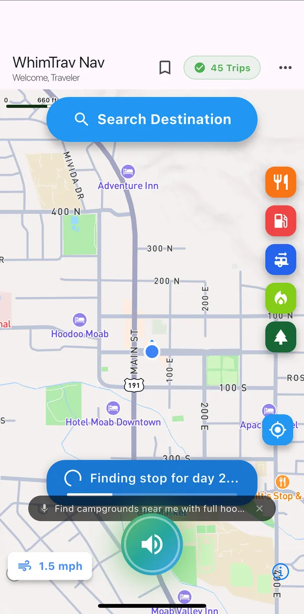
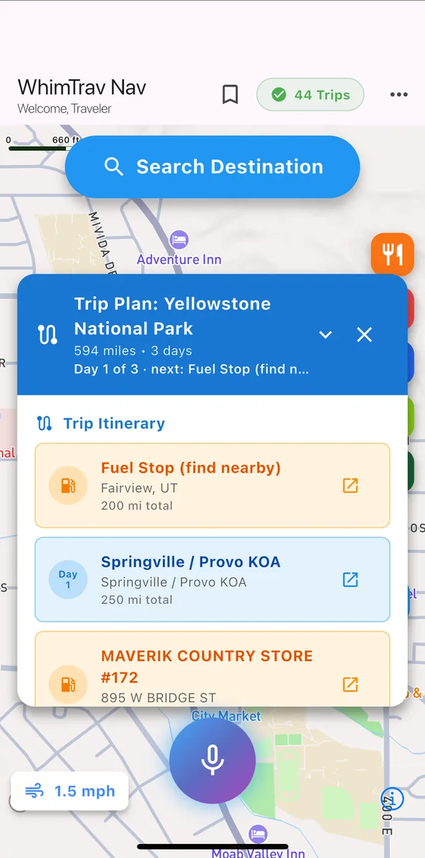
Height, width, length and weight. Every route WhimTrav plans uses them, so you don’t re-enter them for each trip.
Pick a destination, or describe the trip you want. WhimTrav suggests overnight stops, campgrounds, dump stations and fuel along the way.
Turn-by-turn directions with warnings for the low clearances and restrictions in its data. Your own eyes and the posted signs always come first.
Tunnel propane rules differ by tunnel and state. How to check them while you plan, before you are at the portal.
Read more →The order that works: side to side first, then front to back, and why it matters for your fridge and slides.
Read more →What actually causes the smell and the fixes worth trying first, from vent caps to tank flushing.
Read more →All articles · RV setup & campsite guide · Open data
Yes. The campground map and the tools on this site are free and need no account. The WhimTrav app is free to start; paid plans add more trips and AI trip planning.
From U.S. federal agencies (Recreation.gov, the USDA Forest Service, the National Park Service, the Bureau of Land Management, the Army Corps of Engineers and the EPA), state and local agencies, and OpenStreetMap. Every place shows its source, and we publish the combined public layer as open data.
No map does. WhimTrav warns about the height, weight and other restrictions in its routing data, but signs and road conditions change. Always follow posted clearances and your own measured height.
Yes. Enter the full length of the combination and the height of its tallest point, including the A/C unit, vents, antennas and solar panels.